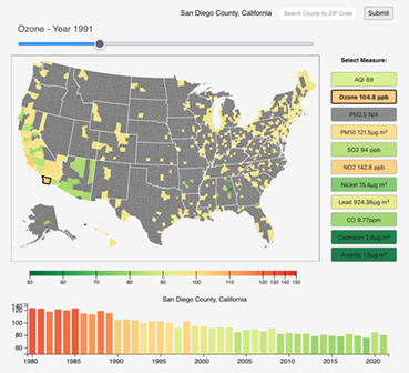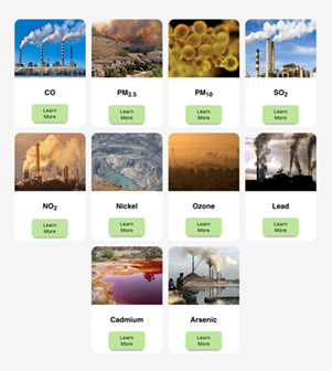
Air Quality Mapper is a page where users can explore annual means of county-level data onward from 1980 from the U.S. Environmental Protection Agency (EPA) for the Air Quality Index (AQI) and ten of the most important pollution measures, including ground-level ozone, particulate matter, sulfur dioxide, and others. Information on these pollutants, health standards, and human health impacts is available on the Pollutants & Standards page.
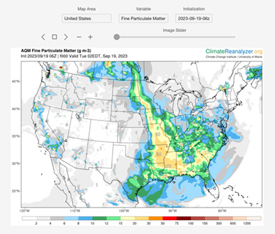
Air Quality Forecast has slider-animated maps showing the latest 48-hour ground-level ozone and particulate matter forecasts for the continental U.S. The forecasts update twice daily sourced from the NOAA-EPA National Air Quality Capability system.


